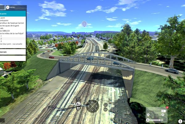
3D city modeling
Modeling your territory in 3D is easy!
Vectuel has the necessary skills to guide you in setting up a 3D digital twin of your territory. Our consultants can help you identify your needs, create your 3D city model from scratch, or improve your already existing 3D city model, the Vectuel team is ready to help you!
Vectuel know-how
We have been modeling cities in 3D for 15 years thanks to our RCP Factory technology co-developed with the Matis laboratories of IGN.
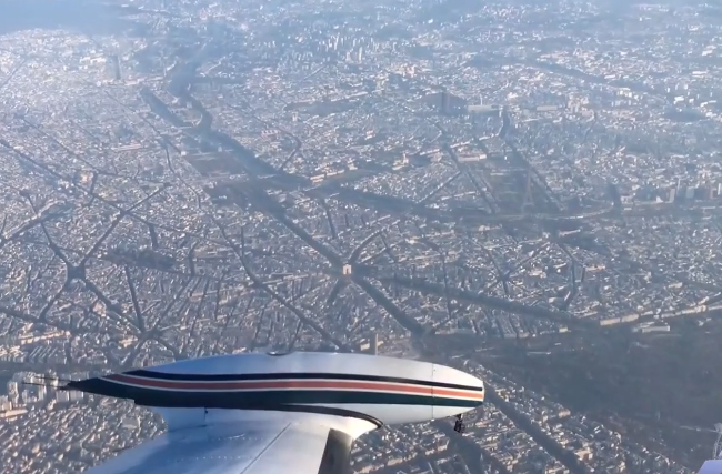
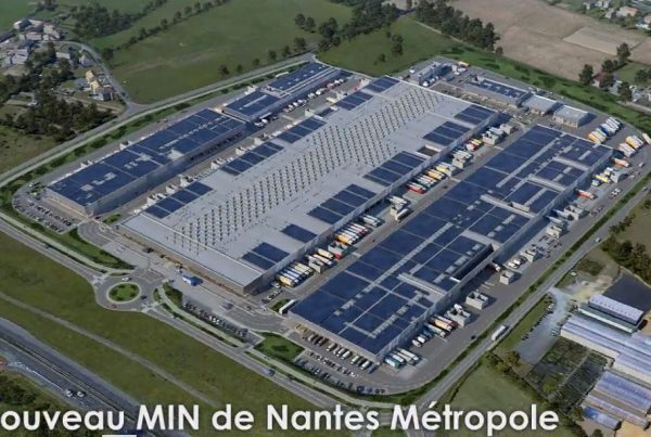
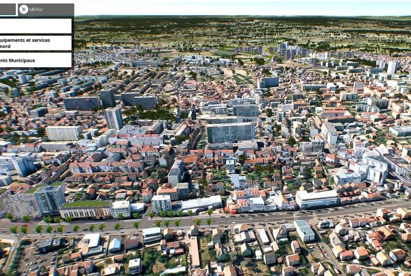
- The city in 3D Vectuel is a 3D database produced by photogrammetric restitution from aerial photos
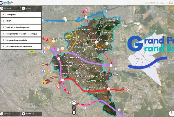
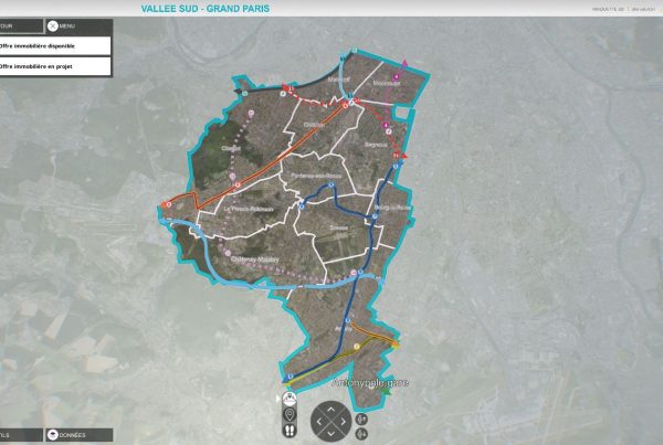
- It makes it possible to serve both technical uses such as GIS as well as uses linked to communication.
- Unlike 3D photo mesh, the 3D base can be easily enriched: project addition, infographic editing, etc.
- The data is interoperable in all information systems: GIS – CAD – BIM
- Export formats available: CityGml, DAE, Obj, Fbx…. (other formats on request)
The 3D Vectuel base
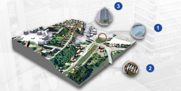
The 3D Vectuel base includes:
- A precise digital terrain model DEM (metric pitch, planimetric resolution at 15 cm and altimeter at 20 cm).
- A “real” orthophotography of between 5 and 10 cm resolution per pixel.
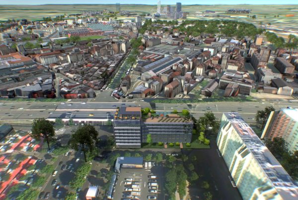
- The 3D representation of buildings including textured roofs and facades from aerial photography
The pedestrian level
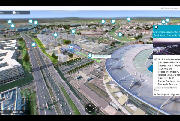
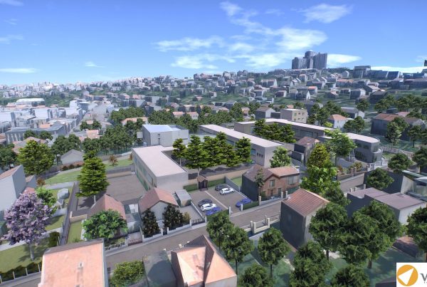
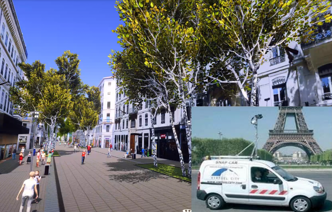
The enrichment of 3D data allows visualization of the city at pedestrian level. This is the ideal rendering allowing easy contextualization of the project for elected officials and residents.
- Acquisition is done using our Snapcar vehicles which allow geolocated photos to be taken on large lines.
- Sidewalks, roads and ground markings are modeled from aerial photos and road plans
- The representation of vegetation, street furniture, vehicles and pedestrians is added in infographics
Examples of cities and territories already modeled in 3D
Ile-de-France:
- Paris
- Defense
- Puteaux
- Saint-Denis
- Aubervilliers
- Epinay
- Seals
- Issy-les-Moulineaux
- Clichy
- La Courneuve
- Villejuif
- Saint-Cloud
- Saint-Ouen
- Pierrefitte
Region
- Nantes
- Marseille
- Mulhouse
- Montbéliard
- Toulon
- Cannes
- Metz
- Bordeaux
- Nice
- Dijon
- Limoges
- Besançon
- Poitiers
- Brest
