Contexte
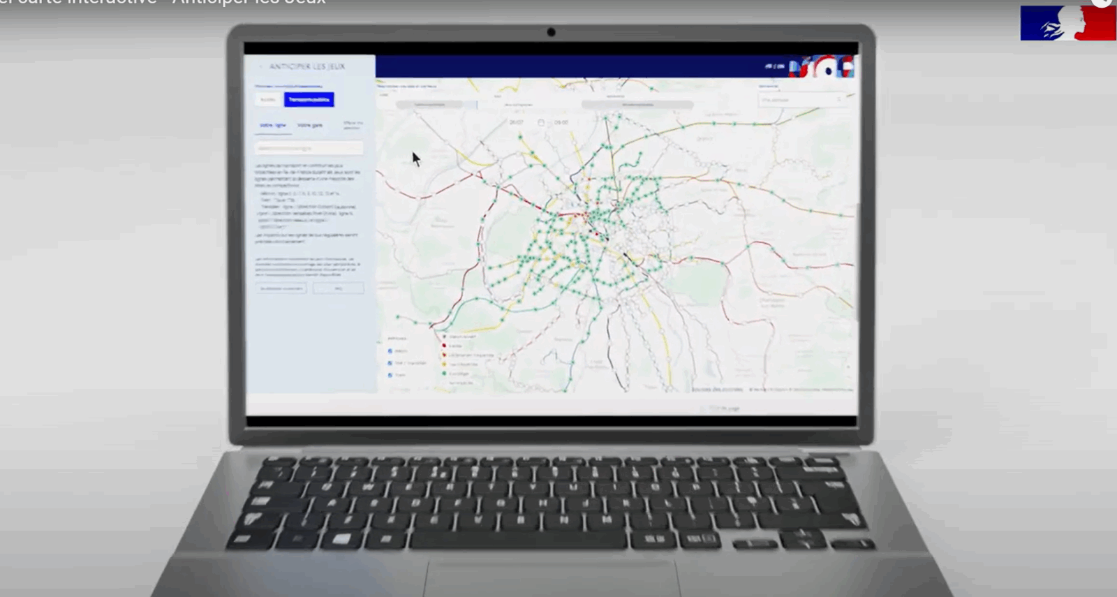
For the Paris 2024 Olympic and Paralympic Games, Vectuel was commissioned by the French government and the Ministry of Transport to design an interactive map dedicated to mobility information. The objective: to assist residents of the Île-de-France region, spectators, and visitors with their travel throughout the event.
A ratings success
➡️ Over 13 million unique visitors in just 3 months
➡️ A benchmark for large-scale use of a real-time information tool
➡️ A map that has become a true "travel companion" for millions of users
Key features
-
Dynamic visualization of ridership forecasts (stations, lines, timetables)
-
Interactive graphics powered by data from Île-de-France Mobilités
-
Display of restricted traffic zones , according to the events and instructions of the Police Prefecture
-
Regular updates of data to reflect the latest developments on the ground
An emblematic project
This project allowed us to leverage Vectuel's full expertise in data visualization , map interface design , and dynamic flow management . It's a concrete demonstration of our ability to design useful, accessible, and high-impact solutions.