Vectuel Guide
Short answer

Understanding the territory
Quickly read the urban forms, infrastructure, constraints, and dynamics of a site.
Simulate scenarios
Compare development, mobility, or phasing scenarios before making a decision.
Consult with citizens
Share a clear, accessible, and educational representation of the upcoming transformations.
Steering urban projects
Track scopes, schedules, constraints, and decisions in a common repository.
Communicating with elected officials
Making projects understandable for partners, decision-makers, and stakeholders.
Digital twin
A 3D environment enriched with data and designed for operational puposes: simulation, consultation, management and decision support.
3D Model
A visual representation of the territory or a project. It becomes a digital twin when it is linked to data and business uses.
SIG
A geographic information system organizes and analyzes spatial data. The digital twin makes them readable in a shareable 3D scene.
01
Collect and structure data: plans, geographical data, technical constraints, project standards.
02
Model in 3D the buildings, infrastructure, public spaces, and elements useful for decision-making.
03
Integrate the model into a 3D web platform to make it viewable, shareable, and usable.
04
Enrich the twin with business data: mobility, real estate, programming, environment, public consultation.
05
Disseminate, update, and sustain the tool throughout the studies, decisions, and project phases.

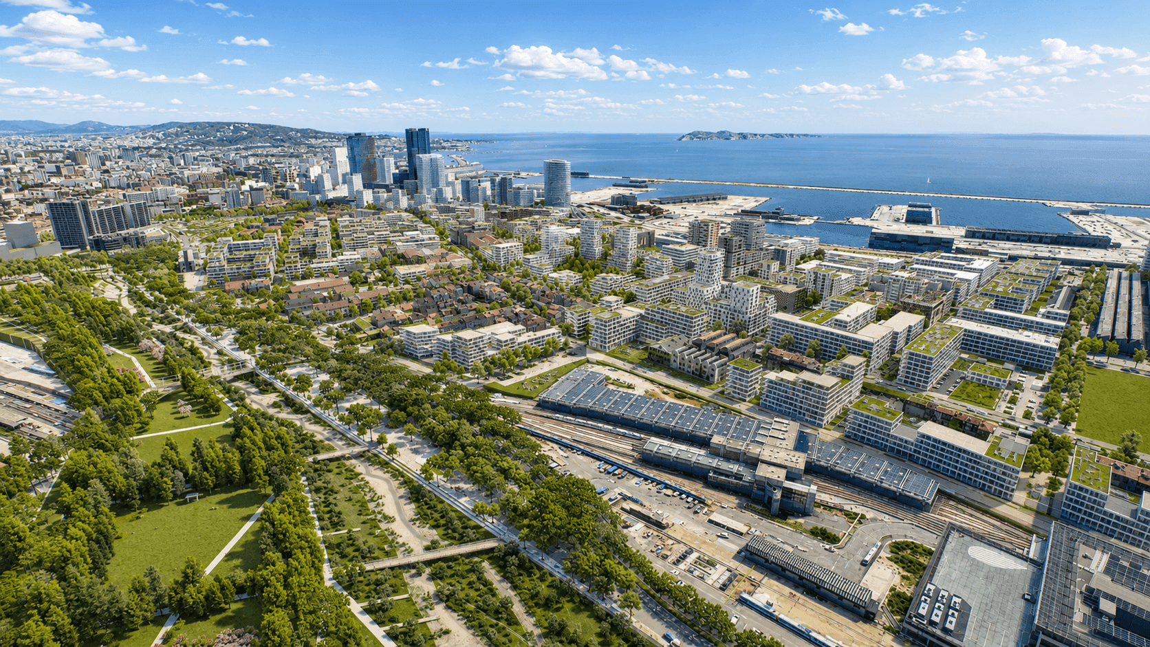
Marseille Euromediterranee
A complex urban territory to represent, understand, and share with stakeholders.
View the project

Grand Paris Express / Société des Grands Projets
Mobility and infrastructure projects made easy to understand thanks to territorial 3D.
View the project

Nantes Metropolis
The digital twin of the territory accompanying urban transformation, supported by educational 3D materials.
View the project
See all projects
Frequently Asked Questions
Request a demo