Events
Digital twin: how 3D has changed Le Havre and Orly
On September 24th, the Cap & Coffee co-organized by Vectuel, Avineon Tensing, and Cap Digital traced the entire chain that transforms a 3D model into a territorial decision-making tool. A look back at the morning's lessons and the testimonials from Le Havre and Orly.
·
6 min read

On September 24, 2026, Vectuel, Avineon Tensing, and Cap Digital brought together local authorities, researchers, and experts for a Cap & Coffee event dedicated to digital twins and 3D geo-intelligence.
The theme of the morning: tracking the entire chain that transforms raw 3D data into a public decision-making tool, to answer a central question. Under what conditions does a digital twin truly become useful for managing a territory?
From Raw Data to Decision-Making: A Chain to Build
From scientific foundations to professional uses, the presentations covered every link in the chain. Research with Arnaud Dujany and Jérôme Gorin (UniLaSalle Amiens). The production and usage of 3D data with Amine Ameziane (Avineon Tensing) and Gilles Guyard (Vectuel). The ecosystem of geo-information and the city with Elise Ladurelle Tikry (Afigéo) and Anne-Cécile Carfantan (UrbanThink Platform).
The panel discussion, moderated by Benoit Bourdier (Cap Digital), then gave the floor to two local authorities, Le Havre Seine Métropole and the City of Orly.
Four closely linked challenges emerged from the discussions:
having reliable and sustainably maintained 3D data;
ensuring its interoperability and security;
breaking down silos for its use across services;
transforming this foundation into a true decision-support tool.
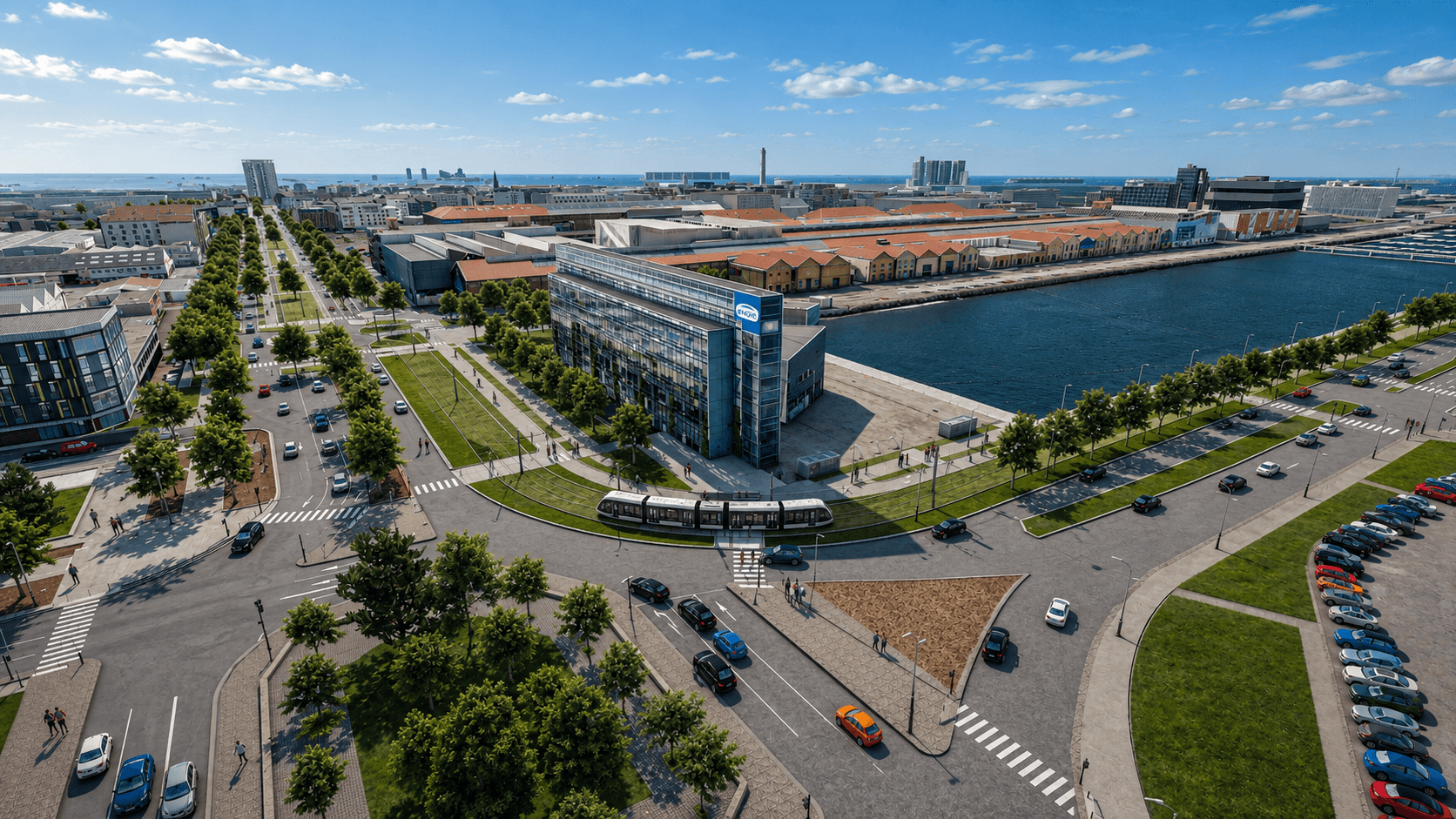
Le Havre: The 3D Model, a Tool for Mediation Around the Tramway
Pascal Cornu, community councillor delegated to digital affairs of Le Havre Seine Métropole and mayor of Notre-Dame-du-Bec, shared the experience of the urban community around a structural project: the future tramway, designed to serve a much larger part of the territory.
His starting observation: the usual documents of a major project do not speak to the residents.
“We usually work with technical plans. These are essential documents for technicians, but they often remain difficult to grasp for a citizen who simply wants to understand what the impacts of the tramway will be on their daily life, on their house right next to it.”
The 3D model made it possible to show these impacts rather than just describing them: construction work, the tramway's footprint, and the reduction of traffic lanes in a city with very wide streets inherited from the Reconstruction. This had a direct effect on the quality of the dialogue.
“It served as a real tool for mediation. We were able to discuss the shared vision of the project with residents. The feedback was much more reasoned, leading to much more constructive discussions.”
For Pascal Cornu, the 3D model was “a huge contribution to the tramway project,” and its value goes beyond the simple presentation of a project:
“A 3D model allows us precisely to provide this educational aspect. It transforms a consultation process that is sometimes perceived as very technical into a real dialogue about the future of the territory. We are no longer just representing a project; we are collectively building a shared vision of tomorrow's territory.”
Orly: Keeping the Model Alive with Developers
Anne-Solène Benazeth, urban renewal project manager at the City of Orly, addressed the other side of the digital twin: its updates. A grant allowed the City to model its territory in 3D, but the model then has an ongoing cost for updates as projects progress.
Orly's answer lies in a sustainable construction charter, signed by all developers and planners working in the municipality. Beyond commitments to housing quality, it includes a section dedicated to visualization: developers commit to collaborating with the City to integrate their real estate programs into the digital model. A template email requests the necessary data from them: 3D models, perspectives, and plans.
The model is used at two stages of the project:
before the building permit, as a decision-making tool, to compare several scenarios and choose the desired program;
at the building permit stage, when the project will no longer change, to integrate a reliable representation of it, viewable online by residents.
Developers also benefit from this: visibility in the online model, and perspectives of their program within its real context.
“Very often, property developers develop their own 3D digital twin, but only on the scale of their housing project. What we offer with Vectuel is to retrieve that data, often developed with another provider, and integrate it into our own 3D model.”
Scaling Up: Governance, Partnerships, and Business Model
The shared examples showed the great value of 3D in comparing planning scenarios, supporting public consultation, and making a project legible to residents. There remain the conditions for scaling up, which are more about organization than technology:
data governance;
coordination between public and private stakeholders;
the long-term viability of the tools;
business models capable of supporting these efforts over time.
Orly's approach provides a concrete answer to several of these questions at once: by having those who produce the data contribute, the charter distributes the updating effort between public and private actors.
Immersing Oneself in the City of the Future
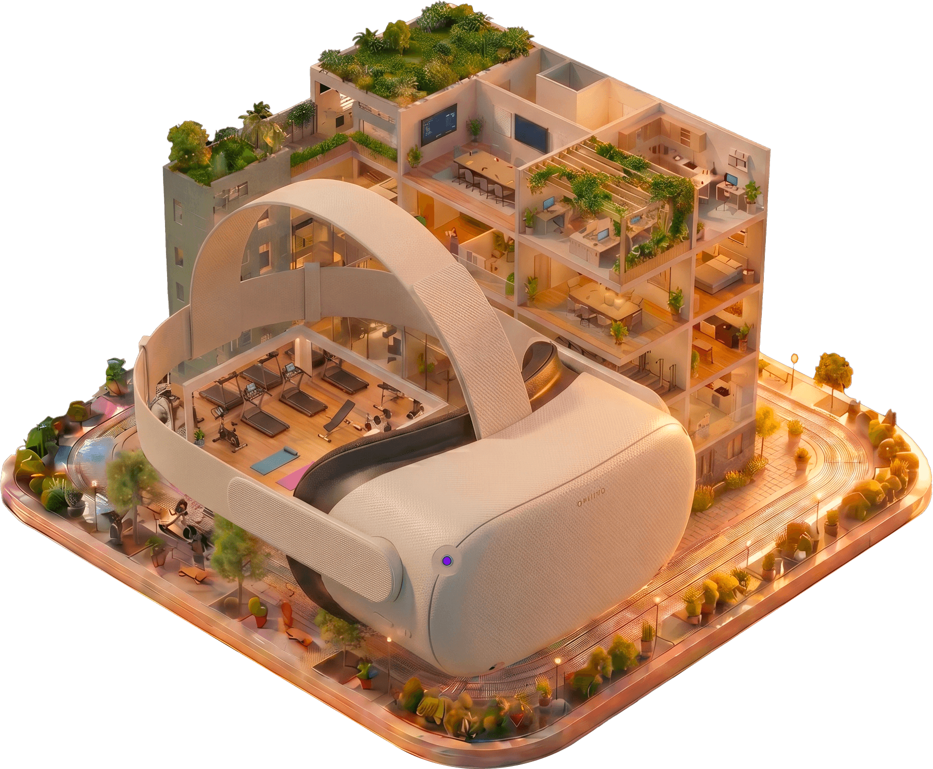
The morning continued with immersive demonstrations in virtual reality. This was an opportunity for participants to transition from geographical data to experiencing the territory and its future developments on a human scale.
Key Takeaways
3 co-organizers: Vectuel, Avineon Tensing, and Cap Digital
2 testimonial communities: Le Havre Seine Métropole and the City of Orly
4 conditions for a useful digital twin: reliable and maintained data, interoperability and security, silo-free uses, decision support
2 stages to integrate a real estate program into the model: scenarios before the building permit, the final version at the building permit stage
Over 50 cities modeled in 3D by Vectuel since 2004
Thank you to all the speakers for their insights and feedback, and to everyone who continued the discussions around the demonstrations.
FAQ
What is the purpose of a 3D model in a public consultation?
A 3D model makes a project understandable to residents who cannot read technical plans. In Le Havre, the model of the future tramway served as a mediation tool: residents were able to visualize the impacts on their daily lives, resulting in more reasoned feedback and more constructive exchanges.
How do you keep a digital twin up to date?
Updating has a continuous cost, because projects are constantly evolving. The City of Orly has developers contribute: its sustainable construction charter, signed by all developers and planners, requires them to provide the 3D data of their projects to integrate them into the city's model.
At what point should a real estate development be integrated into a city's 3D model?
Two stages are useful: before the building permit, to compare multiple alternatives and choose the desired scenario, and then at the building permit stage, when the project will no longer change, to provide a reliable representation viewable online.
What are the success factors for a territorial digital twin?
Reliable and sustainably maintained 3D data, interoperable and secure, shared across departments and used for decision-making. Scaling up then depends on data governance, coordination between public and private actors, and a sustainable business model.