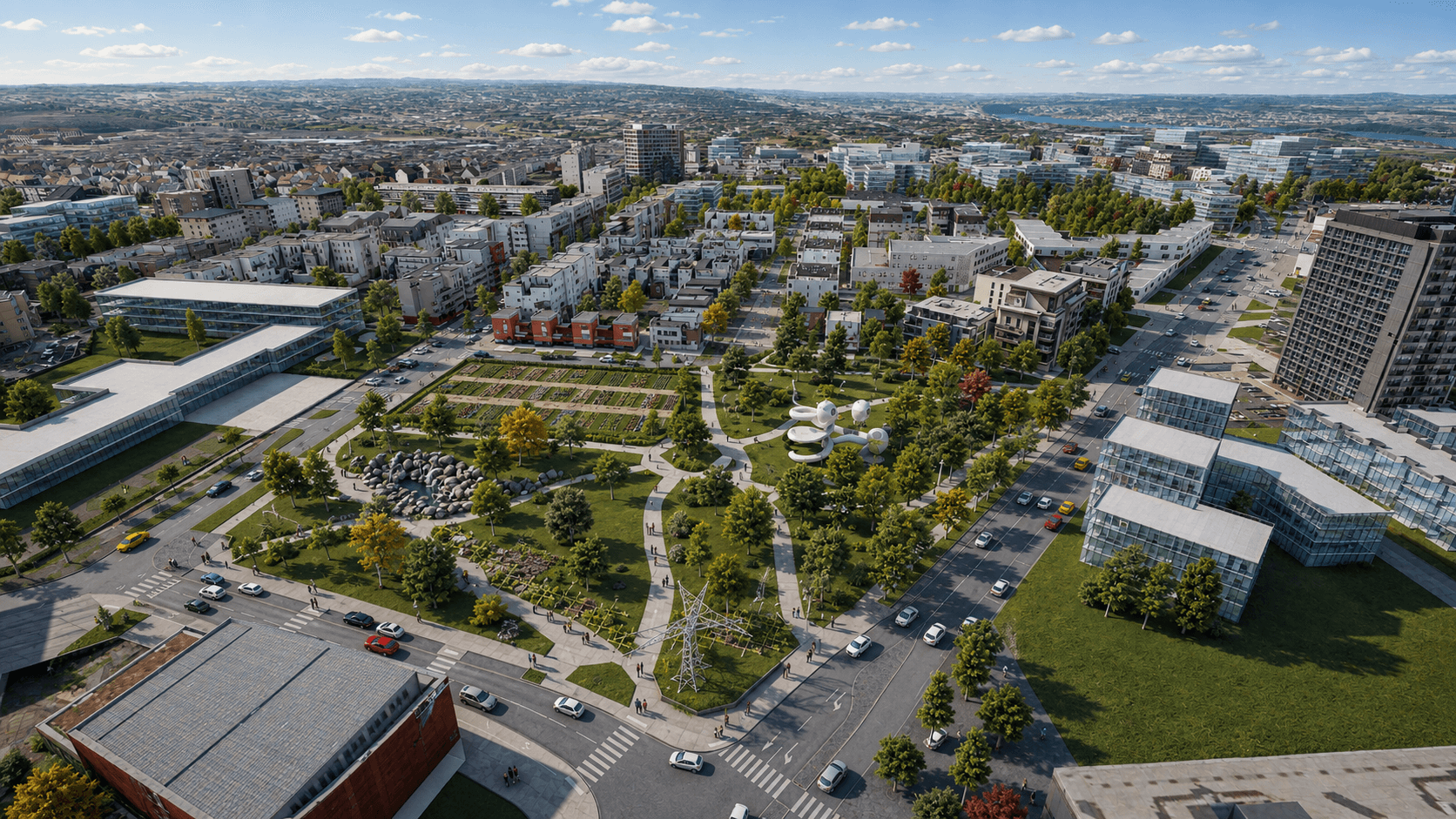
For the Colas Group, Vectuel designed 2IN, a digital twin platform that brings together the group's infrastructure worldwide, including the United States, on a single 3D map. Built on Urban Mappr®, it combines BIM, GIS, and open data to view each asset at three scales: building, infrastructure, and territory. More than 1 million infrastructure points are rendered, accessible via a standard web browser by Colas teams, local authorities, and network operators.
Vectuel also created a Matterport virtual tour of the CORE Center, the group's research and development center located in Magny-les-Hameaux. This immersive experience allows users to remotely explore the site's innovation spaces and laboratories through an interactive browsing experience designed to showcase the group's R&D activities and innovations in the field of infrastructure and mobility.